Unaona asili · Ona tafsiri
Muda
Siku 7
Aina ya Ziara
Binafsi au ya Pamoja
Idadi ya juu kwa gari
28
Idadi ya kundi
1-12 watu
Kiwango cha Kimwili
Ngumu
Inaweza Kubadilishwa
Ndiyo, omba mabadiliko
Umri wa Chini
12 miaka
Lugha
Kiingereza, Kifaransa, Kiswahili, Kireno, Kihispania, Kiholanzi, Kichina
Usafiri wa uwanja wa ndege
Umejumuishwa kwenye bei
Malazi ya ziada
Yanaweza kupangwa kwa gharama ya ziada
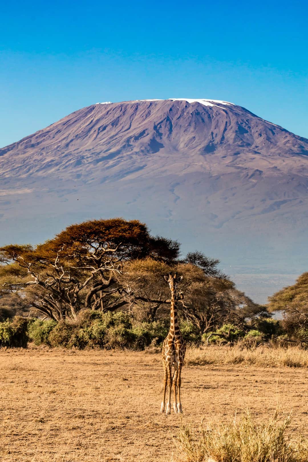
The Rongai Route offers a different way to experience Mount Kilimanjaro. Approaching the mountain from the north, near the Kenyan border, this route is known for its quieter trails, beautiful scenery and gradual approach through several mountain environments. Your trek begins in the forest, where you may see birds and other wildlife along the trail. As you climb higher, the forest gives way to open moorland, rocky alpine landscapes and the high-altitude slopes leading toward the summit. Throughout the journey, our mountain team will support you with an experienced guide, porters and a cook, helping you enjoy the climb while focusing on your pace and safety. Each day brings new views and a different challenge as you move closer to Uhuru Peak, at 5,895 metres above sea level. The summit attempt is physically demanding, especially because of the cold, altitude and long walking hours. Good fitness and proper preparation are important. Reaching the summit depends on your health, weather and trail conditions, so it cannot be guaranteed. At Kiwia Africa Tours, we help organize your trek, from the transfer to the mountain and park arrangements to meals and support along the route. Airport transfers and accommodation in Moshi can also be arranged at an additional cost.
$1,900Kwa kila mtu
Aina ya Safari
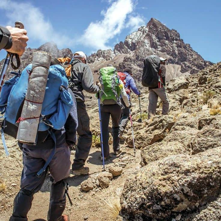
High-altitude trek, not a technical climb: no ropes or climbing experience needed
Kiwango cha Ustahimilivu
Good general fitness and the ability to walk 5 to 8 hours a day for multiple days in a row
Umri
Recommended for ages 12 and up due to walking distances
Vidokezo vya Afya
Consult a doctor if you have heart, lung, or blood pressure conditions. Altitude affects everyone differently regardless of fitness.
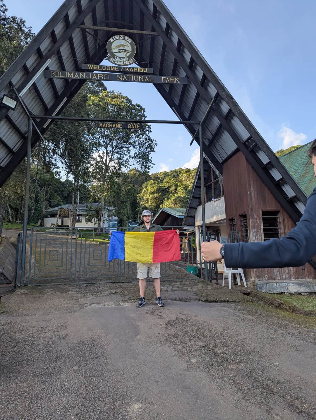
Our adventure begins on the northern side of Mount Kilimanjaro, near the Kenyan border. After registration at Rongai Gate, we start walking through cultivated land and into the mountain forest. The Rongai side is often quieter and drier than the southern routes, giving you a different perspective of the mountain. The trail climbs gradually, allowing you to settle into your walking pace. Keep your eyes open for birds and, occasionally, monkeys among the trees. As we approach Simba Camp, the forest begins to thin and the open mountain landscape starts to appear. At camp, our team will prepare your meal, and you will have time to rest, drink water and prepare for the next day. Starting altitude: Approximately 1,950 m Camp altitude: Approximately 2,835 m Distance: Approximately 8 km Trekking time: 3–4 hours Environment: Cultivated land, mountain forest and cool, sometimes damp conditions
After breakfast, we continue climbing through open heath and moorland. The trees gradually disappear, leaving wider views across the northern plains and toward the mountain's main peaks. On a clear day, the scenery is especially beautiful. Although the distance is not very long, we are gaining altitude, so we will walk slowly and take regular breaks. At Kiwia Africa Tours, we believe that reaching the summit is not just about walking fast; it is about giving your body time to adjust to the mountain. We arrive at Second Cave Camp in the afternoon, enjoy a warm meal and rest while our guide checks how everyone is feeling. Starting altitude: Approximately 2,835 m Camp altitude: Approximately 3,450 m Distance: Approximately 6 km Trekking time: 3–4 hours Environment: Heath and moorland, open slopes, cooler temperatures and possible afternoon mist
Today, we leave the main trail and continue across the open moorland toward the dramatic Mawenzi peaks. The landscape becomes more rugged, with scattered mountain plants, rocky ground and broad views of Kilimanjaro's northern slopes. This is a useful day for maintaining a comfortable pace and adjusting to the increasing altitude. We do not rush. Our guide will encourage regular water breaks and check for symptoms such as headaches, dizziness, nausea or unusual breathlessness. We reach Kikelewa Camp, which sits in a sheltered area beneath the slopes of Mawenzi. The mountain scenery here is impressive, especially when the clouds begin to clear in the evening. Starting altitude: Approximately 3,450 m Camp altitude: Approximately 3,600 m Distance: Approximately 6 km Trekking time: 3–4 hours Environment: Open moorland, rocky trails, scattered vegetation and cool, potentially windy conditions
After breakfast, we begin a steeper climb toward Mawenzi Tarn Camp. The trail rises through open mountain terrain, and the jagged rock formations of Mawenzi become more prominent as we approach the camp beneath its impressive slopes. This is one of the most scenic parts of the Rongai Route. The air is thinner, the temperature is lower and the landscape feels increasingly remote. Depending on the weather, we may experience strong winds, mist or clear sunshine. We arrive at Mawenzi Tarn Camp with time to rest, enjoy the surroundings and prepare for the higher-altitude stages ahead. Our guide will monitor how everyone is adjusting and decide whether additional rest or medical assessment is needed. Starting altitude: Approximately 3,600 m Camp altitude: Approximately 4,315 m Distance: Approximately 5 km Trekking time: 3–4 hours Environment: Alpine moorland transitioning into high-altitude terrain, rocky slopes, cold air and possible strong winds
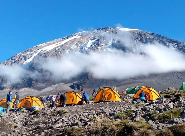
Today, we cross the broad alpine landscape known as the Saddle, between Mawenzi and Kibo. Vegetation becomes very sparse, and the scenery changes to open volcanic ground, loose stones and wide stretches of high-altitude terrain. The walk is longer than the previous day, but we maintain a steady pace and take breaks as needed. The summit is getting closer, although the thinner air makes even ordinary walking more demanding. We arrive at Kibo Hut, our final camp before the summit attempt. After an early dinner and a briefing from our guide, we organize warm clothing, headlamps, water and other essential equipment. We then rest as much as possible because the summit climb usually begins around midnight. Starting altitude: Approximately 4,315 m Camp altitude: Approximately 4,700 m Distance: Approximately 8 km Trekking time: 5–6 hours Environment: High-altitude alpine desert, exposed volcanic ground, cold temperatures and limited natural shelter
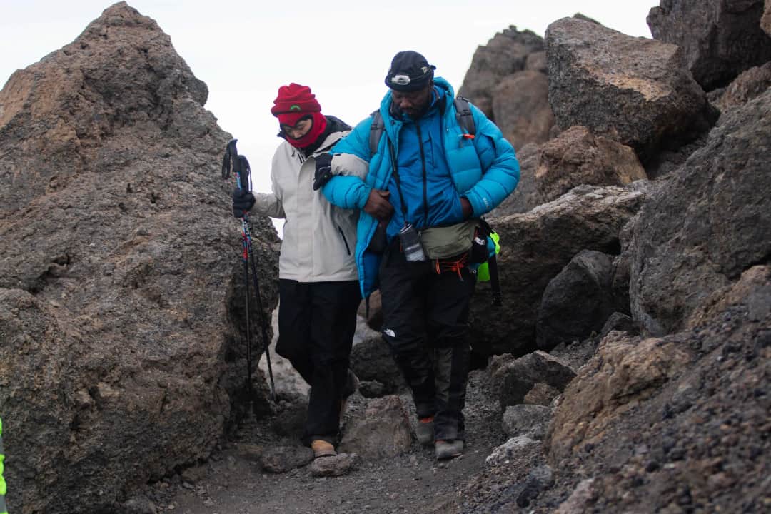
This is the biggest challenge of our journey. We normally begin the summit attempt around midnight, walking slowly under the stars with our guides leading the way. The trail is steep and rocky, and the cold can be intense. Every climber needs to conserve energy, follow the guide's pace and pay attention to how they feel. We climb toward Gilman's Point on the crater rim, then continue along the rim toward Stella Point and Uhuru Peak, the highest point in Africa at 5,895 metres. If conditions and your health allow, standing at the summit is an unforgettable achievement. You will have time for photographs and a short celebration, depending on weather and safety conditions. After the summit, we begin the long descent. We return toward Kibo Hut and continue down to Horombo Hut, where a warm meal and a lower sleeping altitude offer welcome relief after the demanding day. Please understand that summit day can take many hours, and reaching Uhuru Peak cannot be guaranteed. Our priority is to help you pursue the goal safely, not to push you beyond your limits. Starting altitude: Approximately 4,700 m Highest point: Uhuru Peak, 5,895 m Overnight altitude: Approximately 3,720 m Distance: Approximately 15–22 km, depending on the route measurement and descent arrangements Trekking time: Approximately 12–16 hours or longer Environment: Freezing summit conditions, exposed rocky terrain, possible ice or snow, followed by alpine desert and moorland during the descent
After breakfast, we begin our final descent through the mountain's changing landscapes. We leave the open moorland behind and gradually return to the forest zone, where the air becomes warmer and the vegetation grows thicker. The descent is long, so we take care with our footing, especially on loose stones and muddy sections. Your knees and legs may feel tired after summit day, but our guide will help maintain a sensible pace with regular breaks. At Marangu Gate, we complete the park exit formalities and collect your summit certificate if you have reached the relevant summit point. Our mountain team will say goodbye, and your arranged transfer can take you onward to Moshi or another agreed destination. As the Director of Kiwia Africa Tours, I want every guest to finish this journey feeling that they were properly supported, well informed and treated with care throughout the climb. Starting altitude: Approximately 3,720 m Finishing altitude: Approximately 1,860 m Distance: Approximately 18–20 km Trekking time: 5–7 hours Environment: Moorland descending into mountain forest; warmer, more humid conditions and potentially muddy trails
Inaanzia Moshi, Tanzania , inaishia Moshi,Tanzania.
Vituo vingine
Malazi na chakula vilivyoandaliwa kwa kila usiku wa safari.
Vitu ambavyo mtoa huduma huyu anapendekeza kubeba safarini.
The trek starts from Moshi, Tanzania. Most international visitors arrive through Kilimanjaro International Airport (JRO), approximately 40–50 km from Moshi, depending on your accommodation location. Kiwia Africa Tours can arrange an airport pickup and transfer to your hotel at an extra cost. We recommend arriving in Moshi at least one day before the trek for rest, a briefing and an equipment check. After completing the climb, you will return to Moshi, where onward airport transfers and extra accommodation can be arranged according to your travel plans.